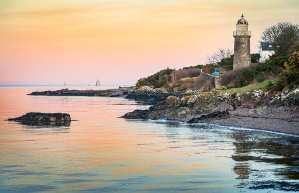
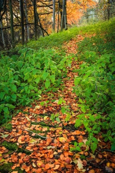
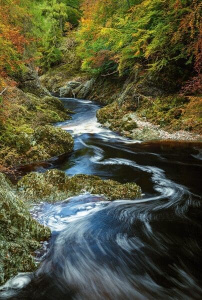
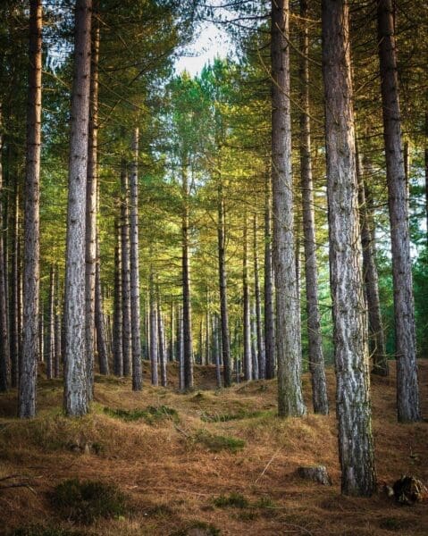
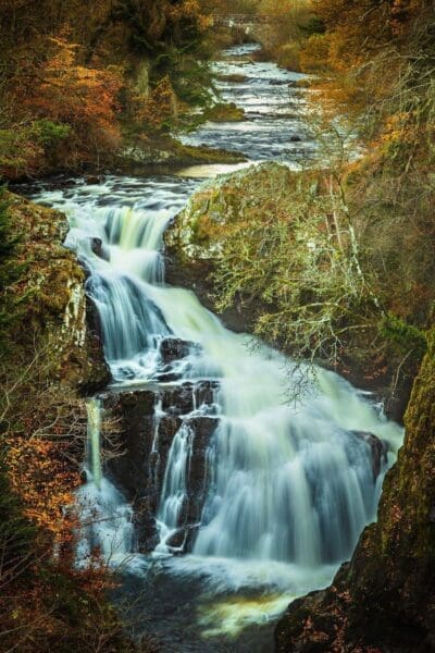
My home patch, including North Fife, the Angus Glens and the East Coast north of Dundee. The River Tay (Scottish Gaelic: Tatha) is the longest river in Scotland and the seventh-longest in Great Britain. The Tay originates in western Scotland on the slopes of Ben Lui, then flows easterly across the Highlands, through Loch Dochart, Loch Iubhair and Loch Tay, then continues east through Strathtay, in the centre of Scotland, then southeasterly through Perth, where it becomes tidal, to its mouth at the Firth of Tay, south of Dundee. It is the largest river in the United Kingdom by measured discharge. Its catchment is approximately 2,000 square miles (5,200 square kilometres).
Angus is one of the 32 local government council areas of Scotland. The council area borders Aberdeenshire, Dundee City and Perth and Kinross. Main industries include agriculture and fishing. The area that now comprises Angus has been occupied since at least the Neolithic period. Bronze Age archaeology is to be found in abundance in the area.
To the north and west, Angus is mountainous. This is the area of the Grampian Mountains, Mounth hills and Five Glens of Angus, sparsely populated and where the main industry is hill farming. To the south and east are rolling hills (such as the Sidlaws) bordering the sea; this area is well populated, with the larger towns. In between lies Strathmore (the Great Valley), which is a fertile agricultural area noted for the growing of potatoes, soft fruit and the raising of cattle.


